Tibet Geography
All of modern China, including Tibet, is considered a part of East Asia. Historically, some European sources also considered parts of Tibet to lie in Central Asia.
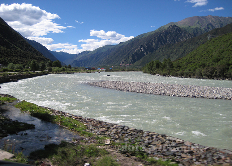
Tibet has some of the world's tallest mountains, with several of them making the top ten list. Mount Everest, at 8,848 metres (29,029 ft), is the highest mountain on earth, located on the border with Nepal. Several major rivers have their source in the Tibetan Plateau (mostly in present-day Qinghai Province). These include Yangtze, Yellow River, Indus River, Mekong, Ganges, Salween and the Yarlung Tsangpo River (Brahmaputra River).The Yarlung Tsangpo Grand Canyon, along the Yarlung Tsangpo River, is among the deepest and longest canyons in the world.
Lhasa is Tibet's traditional capital and the capital of Tibet Autonomous Region. It contains two world heritage sites – the Potala Palace and Norbulingka, which were the residences of the Dalai Lama. Lhasa contains a number of significant temples and monasteries, including Jokhang and Ramoche Temple. Shigatse is the second largest city in the Tibet AR, west of Lhasa. Gyantse and Qamdo are also amongst the largest. Other cities and towns in cultural Tibet include Shiquanhe (Ali), Nagchu, Bamda, Rutog, Nyingchi, Nedong, Coqên, Barkam, Sakya, Gartse, Pelbar, Lhatse, and Tingri; in Sichuan, Kangding (Dartsedo); in Qinghai, Jyekundo (Yushu), Machen, and Golmud; in India, Tawang, Leh, and Gangtok.
The Different Altitude of Tibetan Cities and Counties
| Place | Altitude | Place | Altitude |
| Lhasa | 3658 m 12001 ft |
Shigatse | 3836 m 12585 ft |
| Nyingchi | 3000 m 9843 ft |
Tsedang | 3500 m 11483 ft |
| Nagqu | 4507 m 14787 ft |
Gyangtse | 4040 m 13255 ft |
| Pome | 2750 m 9022 ft |
Tingri | 4300 m 14108 ft |
| Amdo | 4800 m 15748 ft |
Zayui | 2325 m 7628 ft |
| Chamdo | 3205 m 10515 ft |
Damshung | 4200 m 13780 ft |